Introducing the project to UID
The week started with a public presentation at Umeå Institute of Design. Each student gave an introduction of their
degree project to the rest of the school, presenting their subjects, sponsors and work plan.
Tutoring
We also had the first moments with the class tutor, Mattias Andersson. Each of the Interaction students had some
minutes with him to explain the subject and get the first feedback. In my case the main issue raised is the amplitude
of the subject, where I can easily get lost in research or analysing data. It's too vast and I need to narrow down
urgently.
One other suggestion given by Mattias was the production of a Design Brief as soon as possible to guide the develop-
ment of the project, something to stick to during the process.
Struggling
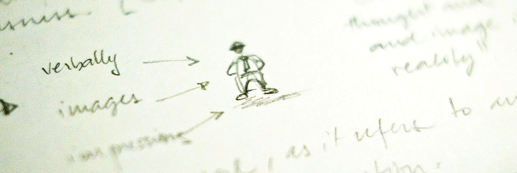
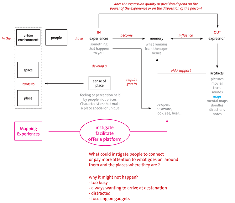
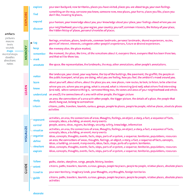
That's where my struggles begin. I started unfolding the subject of Mapping Experiences and both components of
the project can be unfolded ad infinitum. I need to have a grasp of the limits of this subject before I can slice it, so
that I can be more confident of making a well informed decision. So I started brainstorming on my own the activities
or verbs associated with maps. Then I grouped these verbs in clusters, giving them labels. From each verb I made
a list of entities that go with it, for example: explore >> new places, old places, your own home, your
neighborhood etc.
Collecting stories
Besides this understanding of the context of Mapping Experiences, I started collecting stories of Umeå from its inha-
bitants. I've been interviewing people at school and tomorrow (Sunday) I'll collect some interviews at the BildMuseet
where they are currently displaying an exhibition about Maps called Mapping the Contemporary.
Benchmarking
The other activity being conducted is the search and analysis of some services that deal with geo location and
mapping. After the first "Oh my, everything has been already done" reaction, I can learn from these services
exploring the differences between what they offer and what I want to propose as well as build on top of what
has been achieved so far. One website called Olet Tässä - Helsinki [You are here - Helsinki] offers an interesting
platform for experience sharing, and I have already built a site map of it with some help from Katri Niemi, doing the
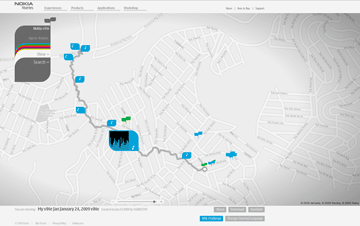
translation. One other, Nokia Vine was shown to me by my classmate Mikko, but I still haven't taken a deeper look.
Below, on the links session, you can find access to both services.
Breakfast Club
This week I was also invited to participate in a discussion group with other students (Ru Zarin, Ulrik Svenningsen and
Rahul Sen) also doing degree projects. We decided to meet once a week and help each other to keep on track, giving
feedback and looking at each other's struggles with outsider's eyes. The first session was very good, with many drifts
away from the subject, but still under the big design umbrella.
Looking Ahead
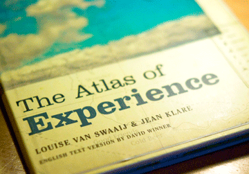
I take inspiration in a fabulous book called The Atlas of Experience, and right now, I can find there my current location,
beind in the middle of the Mountains of Work. I am still finalizing the user questionnaire to send around and this coming
week I will use the categories to do some card sorting about maps with both Designers and Cartographers to identify
similarities and differences in the understanding of these information devices.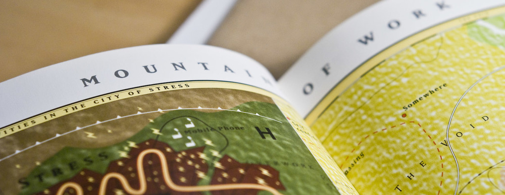

>> I am here article on Wired
>> 10 applications for mobile GPS enabled devices (Wired)
>> There's so much data available, what would users like to know?
>> A classic map revisited by Vignelli
>> Augmented reality in locative media
>> Nokia Vines Map
>> You are Here - Helsinki (only Finnish)

Found II, edited by Davy RothBart
Envisioning Information, by Edward Tufte
Visual Explanations, by Edward Tufte
The anthropology of experience, by Edward M. Bruner.
The image of the city, by Kevin Lynch
Songlines, by Bruce Chatwin.
The atlas of Experience, Louise van Swaaij and Jean Klare